MML&H's responsibilities generally include land surveying and support services to the gas exploration activities and operations in the Haynesville Shale natural gas field of northwest Louisiana. In addition to surveying, other services have been provided including storm water management and planning, structural design services, ARC GIS mapping covering four individual parishes, environmental assessment and jurisdictional determinations, single and multi-well location siting, process facility siting and component layout, pipeline routing and mapping, access routing and AutoCadd supported Auto-Turn Modeling, LADOTD access and utility permitting processes, management and operations warehouse facility site design, and development of grading and construction plans for individual well and process facilities sites.
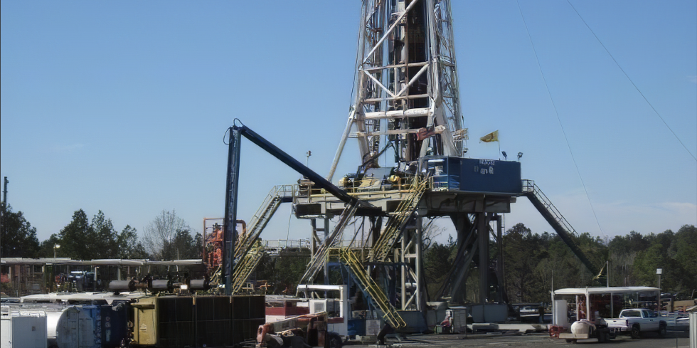
From 2006 through 2019, and now supporting the development and productions stages of the Haynesville Shale, MML&H has provided services for the siting, construction and drilling of over 400 natural gas wells on 300 individual locations in Red River, DeSoto, Sabine and Natchitoches Parishes. In addition, single well and central gas processing facilities and over 100 miles of flow and process pipelines associated with this development have been sited, routed and platted. To accomodate the access requirements for these typically remote locations, over 65 individual LADOTD access permits and construction of new or upgraded private and local roadways have been required.
Environmental scientists and biologists are fielded alongside MML&H's surveyors to delineate and map jurisdictional wetlands and nesting or foraging areas of threatened and endangered species. Through these concurrent field efforts, MML&H has successfully sited all of the exploration and production entities' locations of activity without impact to state of federal jurisdictional areas to date. By precluding these potential impacts, no LaDEQ or USACE Dredge and Fill Permits have been required.